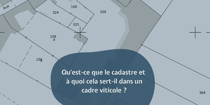
The cadastre is an administrative document which draws up the state of the land properties (building, house, land, etc.) of a municipality. It generally provides information on the boundaries of a property, its location in relation to neighboring land, the number and size of the buildings it contains, and much more. It is also used in the wine world.
History of the cadastre

The cadastre was designed to facilitate the census and identification of land properties and their owners for taxation purposes. Indeed, this set of cartographic and literal documents was put in place by Napoleon at the beginning of the XNUMXth century in order to correct the disparities in tax treatment observed in the different French regions of the time.
But well before this period, under the Old Regime, landed property was systematically recorded in the South because of the size (tax formerly levied on commoners and abolished in 1789) which had to be applied to them.
By means of the law of September 15, 1807, the Emperor Napoleon I established the parcel cadastre which is also known as the Napoleonic cadastre. This is based on surveying, a technique for measuring land. It began with the creation of the department in 1808 and ended in 1837.
The land registry today

Since the promulgation of the 1930 law relating to the revision of property assessments and the general renovation of old plans, the cadastre has been regularly updated. It is updated when the plans are no longer adapted to the plot fabric, in other words every 50 or 60 years.
About 103 million parcels are now listed in the cadastre of metropolitan France. And this number is regularly updated by the regional or departmental directorates. On the other hand, at the national level, the land registry is managed by the Land Registry Office of the General Directorate of Public Finances (DGFiP).
The cadastre has two types of elements:
· the cadastral plan: this is a set of plans referring to the parcel division of a municipality. There are also other graphic elements such as roads, rivers, lakes, to name a few.
· Literal documentation: it is made up of 5 files, namely those of building owners, built properties, unbuilt properties, properties divided into lots (PDL) and ''local lots''.
Its application to the wine world

The first applications of the cadastre to the wine world were observed in the second half of the XNUMXth century. It was indeed during this period that the vineyard cadastre was born.
This official document, which is used to delimit the landed property in the vineyard, was then based on the card of encépagement, that is to say the photograph of each vineyard. The latter was regularly examined in the context of applications for Label or authorization for plantations. Measures were also taken from 1957 for its regular updating.
These various measures will lead to the creation of the vineyard register in 1958, the constant updating of which will be made compulsory in 1979 by the European authorities. Thus, since that date, the member countries of the community are not only obliged to keep a vineyard cadastre, but also to update it every 10 years, or even every year for mother vines and nurseries. .
This decision had been taken to help the European Union (EU) to alleviate somewhat the difficulties it was encountering in establishing a common wine policy in its area.
In our geoVINUM Magnum application, you can identify your French cadastral vineyard plots, in order to be able to highlight all your properties which give rise to your most beautiful nectars. You have a free trial to discover this app!